Engineering surveying is an indispensable part of modern engineering construction, covering various fields such as architecture, civil engineering, and electricity. This article will introduce some new technologies in engineering surveying, including laser measurement, Total Station, Unmanned Aerial Vehicle measurement, etc.
Laser measurement technology
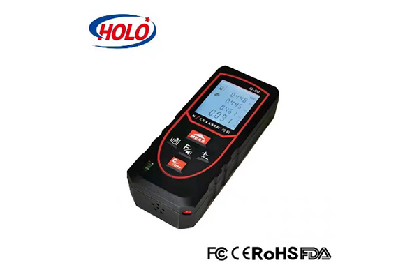
1. Laser Distance Meter
Laser distance meter is an instrument that uses a laser beam to measure distance. It has the characteristics of fast measurement, high accuracy, and simple operation. This distance meter can be widely used in fields such as building measurement, road measurement, tunnel measurement, etc.
In highway construction projects , laser distance meter is widely used to measure road length and width, as well as internal dimensions of tunnels. 100m laser distance meter with green laser beam is very popular
2. Laser scanner
Laser scanners can quickly obtain three-dimensional point cloud data of the scene and have the advantage of non-contact measurement. It can be widely applied in fields such as building facade measurement, terrain measurement, landscape measurement, etc. The data from laser scanners can be processed to generate high-precision 3D models.
Total Station Technology
A Total Station Equipment is an instrument that integrates observation, measurement, and data processing. It can achieve high-precision measurement and positioning. The total station has functions such as automatic tracking, automatic angle measurement, and automatic distance measurement, greatly improving measurement efficiency and accuracy. Total stations are widely used in engineering surveys such as construction, bridges, and tunnels. In highway construction projects , a Total Station Equipment can be adopted to measure elevation and determine the slope and angle of the highway.
UAV measurement technology
UAV measurement technology is a new technology that has emerged in recent years. Drones can carry measurement equipment and use aerial images for measurement and modeling. UAV measurement technology has the advantages of high efficiency, flexibility, and low cost. It can be applied in fields such as large-scale terrain measurement, mining measurement, and building facade measurement. In the case of highway construction, terrain data around highways, building facades and generate 3D models of buildings can be done by drones.
The application of new engineering surveying technologies continues to drive the development of engineering construction. The emergence of laser measurement, total station and unmanned aerial vehicle measurement technologies has made engineering surveying more efficient, accurate and flexible.