In construction engineering and equipment installation projects, various engineering surveying instruments play a vital and crucial role. The following are several common surveying instruments and their application scopes:
Theodolite
Main Function: Measuring horizontal angles and vertical angles.
Application Scope: Widely used in control surveys, topographic surveys, and construction stakeout surveys, etc. For example, optical theodolites are mainly used for the measurement of the plane control network of electromechanical engineering buildings, as well as the control measurement of the verticality of column installation in factories (workshops).
Level
Main Function: Measuring elevations and altitudes.
Application Scope: In construction projects, it is used for the measurement of the elevation of the control network and the setting out of benchmark points, as well as the settlement observation measurement of factories and large equipment foundations. In equipment installation projects, it is used for the setting out of the elevation benchmark points of the measurement control network for continuous production line equipment and the control measurement of the equipment installation elevation during the installation process.
Total Station
Purpose: Angle measurement, distance measurement (slant distance, horizontal distance, height difference), three-dimensional coordinate measurement, traverse measurement, intersection positioning measurement, and stakeout measurement, etc.
Electromagnetic Wave Distance Meter
Classification: According to the adopted wavelength, it can be divided into microwave distance meters, laser distance meters, and infrared distance meters.
Characteristics: Compact, lightweight, and highly accurate.
Application: Widely used in control surveys, topographic surveys, and construction stakeout surveys, etc., which have greatly improved work efficiency and measurement accuracy.
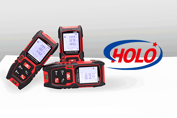
HOLO, as a well-known measuring equipment manufacturers, has designed and produced laser distance meters that have been exported to more than 20 countries. It is widely applied in fields such as civil engineering, security, and monitoring.
Laser Surveying Instruments
Laser Collimator and Laser Pointer: Used for the alignment measurement of the concentricity of large-diameter, long-distance, and rotary equipment, such as the alignment measurement of the concentricity of a cement rotary kiln.
Laser Plumb Bob: Used for the vertical transfer of plane control points and the measurement of verticality during the construction of high-rise buildings, chimneys, elevators, etc.
Laser Theodolite: Used for setting out lines, positioning, and setting out known angles during construction and equipment installation.
Laser Level: In addition to having the functions of an ordinary level, it can also be used for collimation guidance. For example, an automatic tracking photoelectric receiving target can be installed on the leveling staff.
Laser Planer: Suitable for the horizontal control of the slipform platform in lifting construction, the horizontal control of the reticulated roof truss, the formwork support of large-area concrete floors, and the horizontal control during the lifting of the tank body in the inverted construction method of large storage tanks.
These engineering surveying instruments play an important role in various engineering projects, improving measurement accuracy and work efficiency.